
 EN
EN
 ar
ar bg
bg hr
hr cs
cs da
da nl
nl fi
fi fr
fr de
de el
el hi
hi it
it ko
ko no
no pl
pl pt
pt ro
ro ru
ru es
es sv
sv tl
tl iw
iw id
id lv
lv lt
lt sr
sr sk
sk sl
sl uk
uk vi
vi et
et hu
hu th
th tr
tr fa
fa ms
ms hy
hy ka
ka ur
ur bn
bn mn
mn ta
ta kk
kk uz
uz ku
ku
Digital Traversing Inclinometer
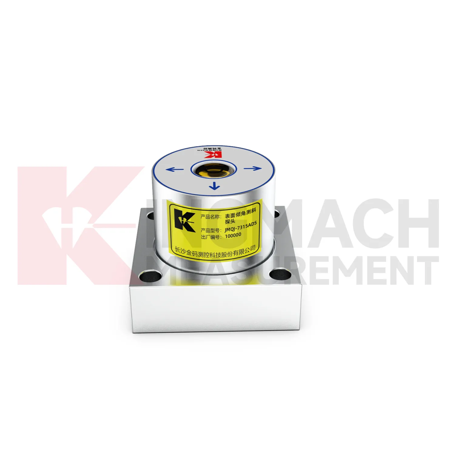
Range and accuracy are central when specifying Kingmach Digital Traversing Inclinometer. JMQJ-7315ADS is listed with +/-15 degrees dual-axis range, 0.001 degree resolution, and 0.01 degree accuracy. JMQJ-7315RTU is listed with +/-30 degrees and +/-15 degrees dual-axis options, 0.001 resolution, and +/-0.05%FS accuracy. JMQJ-7915ATS provides dual-axis +/-90 degrees tilt range with 0.001 degree resolution and 0.01 degree accuracy for borehole monitoring. JMZX-7100L also uses a +/-90 degrees sensor range for sliding inclinometer work. These values should be matched to the expected deformation pattern. A bridge bearing seat may need small, stable angular tracking. A borehole in a slope may need a wider tilt range across several depths. A monitoring plan should also define alarm thresholds, data review frequency, temperature context, and comparison instruments.
Application of Digital Traversing Inclinometer
Building monitoring uses Digital Traversing Inclinometer when column lines, basement walls, adjacent structures, or old buildings near construction activity need tilt records. JMQJ-7315ADS can measure angular change relative to the horizontal plane, and JMQJ-7315RTU can provide wireless reporting for remote or occupied sites. The data should be checked against foundation settlement, crack observations, groundwater changes, nearby excavation, demolition, pile driving, and load changes. Building tilt is often small, so installation quality matters. The mounting surface must be firm, the sensor axis must be recorded, and the baseline should be taken after the sensor has stabilized. For old or damaged buildings, clear point labels and photographs are important because many parties may review the same data during a long project.
The future of Digital Traversing Inclinometer
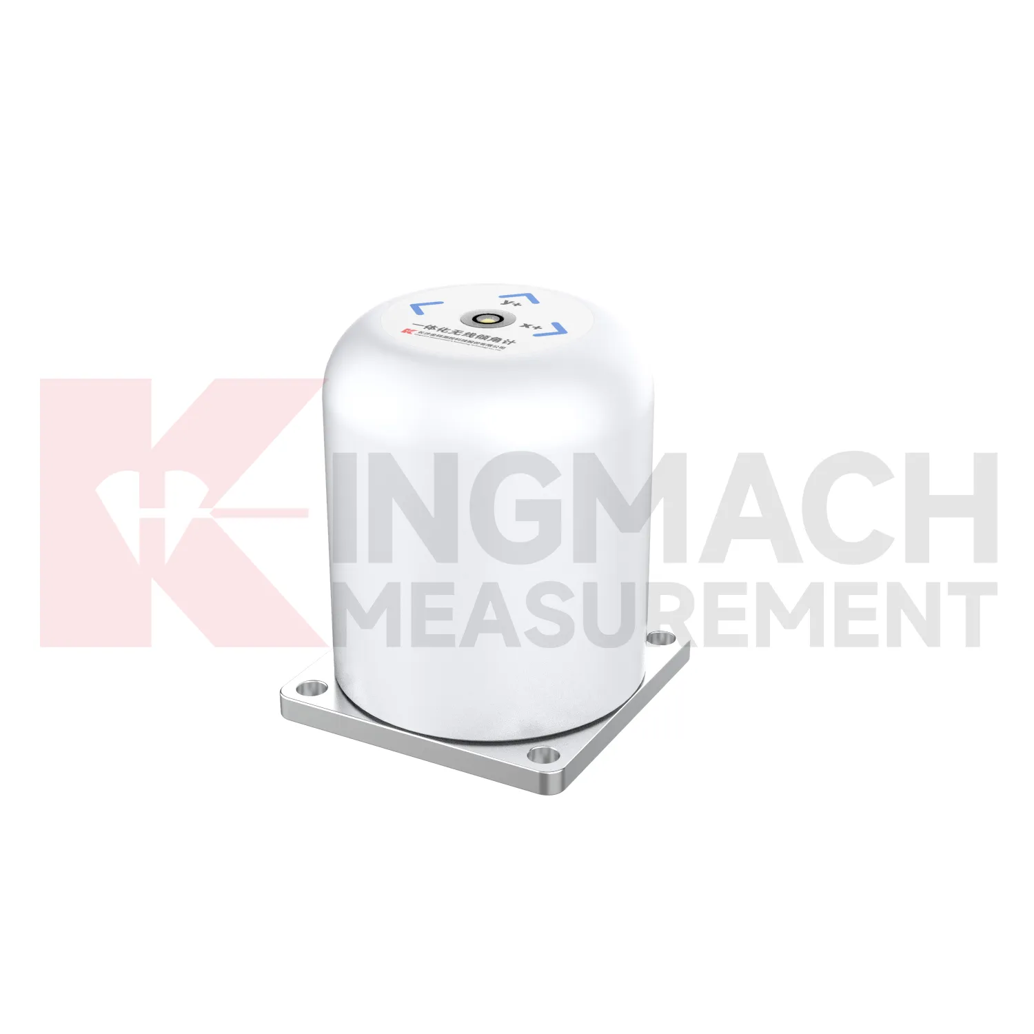
Wireless monitoring will play a larger role in future Digital Traversing Inclinometer projects. JMQJ-7315RTU already combines MEMS tilt sensing with 4G digital output and battery power, which helps when cable routes are long, exposed, or disruptive. Future projects will likely use wireless tilt points on bridges, buildings, slopes, towers, and temporary construction structures where fast deployment matters. Wireless work still needs disciplined planning: antenna location, sampling interval, battery status, data upload timing, and fallback field checks must be defined. The best wireless tilt record will not simply send more data; it will send the right data with enough context for engineers to understand what changed, when it changed, and whether the site needs inspection.
Care & Maintenance of Digital Traversing Inclinometer
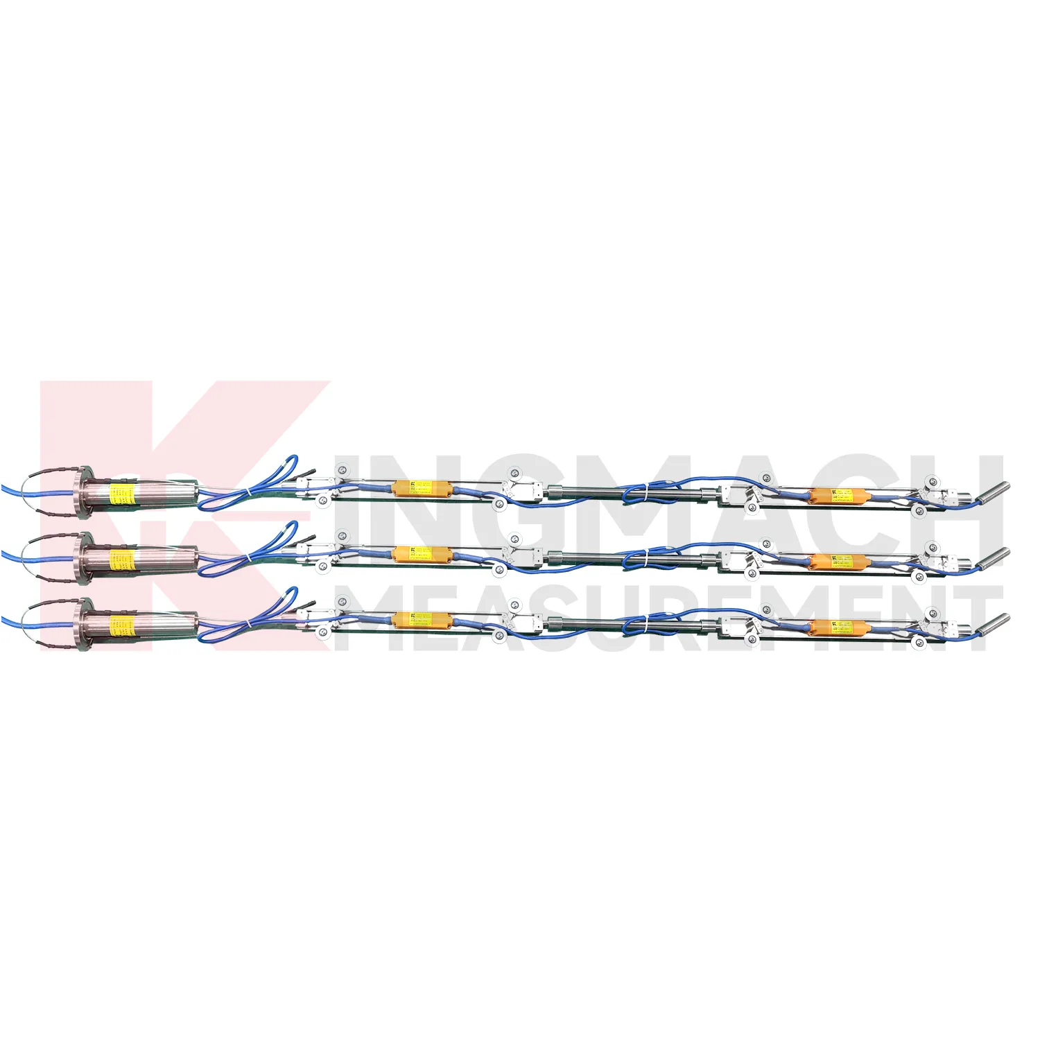
Borehole systems for Digital Traversing Inclinometer need careful mechanical and data maintenance. JMQJ-7915ATS uses a multi-point tandem inclinometer string with universal joints, connecting rods, suspension, cables, and an orifice acquisition module. During installation, record measurement spacing, borehole ID, casing condition, orientation, group assignment, and factory configuration. During inspection, protect the orifice, check cable strain, review module status, and compare depth points for abnormal jumps. If one depth changes sharply while neighboring depths remain steady, inspect both the ground condition and the instrument chain. Borehole data is most useful when every depth point remains tied to a clear physical position and a stable orientation reference.
Kingmach Digital Traversing Inclinometer
The technical strength of Kingmach Digital Traversing Inclinometer comes from combining MEMS sensing with practical acquisition details. JMQJ-7315ADS uses a high-precision acceleration integrated chip, 16-bit AD sampling, RS485 communication, an electronic code, and lightning protection design. JMQJ-7315RTU combines MEMS sensing with 4G wireless communication and low-power operating modes. JMQJ-7915ATS uses automatic temperature compensation and multi-point series connection in a borehole. JMZX-7100L uses a MEMS biaxial inclinometer probe with Bluetooth transmission and mobile phone reading. These differences are useful because field projects vary widely. Some sites need high-frequency remote acquisition, while others need periodic manual profiling. A clear specification should state measuring range, axis direction, output signal, protection grade, data logger, and review interval.
FAQ
Q: How accurate is the JMQJ-7315ADS tiltmeter?
A: The product page lists 0.001 degree resolution and 0.01 degree accuracy for the +/-15 degree dual-axis model.Q: What protection grade does JMQJ-7315ADS have?
A: It is listed with IP68 waterproof protection and an operating environment from -30 degrees Celsius to +80 degrees Celsius.Q: What range does JMQJ-7315RTU provide?
A: The integrated wireless model lists +/-30 degree and +/-15 degree dual-axis range options, with 0.001 resolution.Q: How many sensors can JMZX-4QH support?
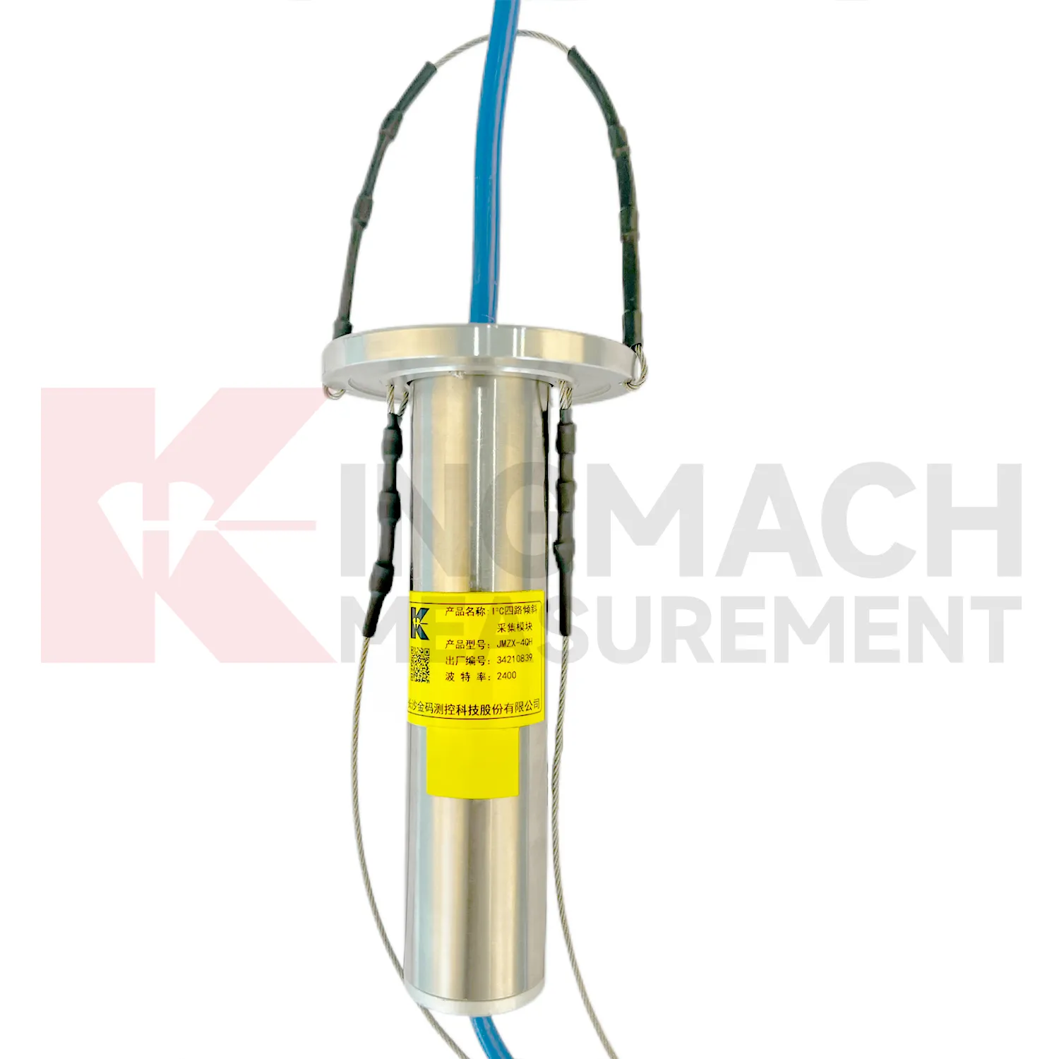
A: The module lists four channels and support for up to 100 sensors in a multi-point inclinometer system.Q: What is the guide wheel spacing for JMZX-7100L?
A: The sliding inclinometer page lists a 500 mm guide wheel spacing reference and a +/-90 degree sensor range.
Reviews
Daniel Brown
Excellent environmental monitoring sensors. The data is consistent, and the system integrates smoothly with our existing setup.
Christopher Martinez
Very satisfied with the readouts & data loggers. User-friendly interface and supports multiple sensor inputs.
Latest Inquiries
To protect the privacy of our buyers, only public service email domains like Gmail, Yahoo, and MSN will be displayed. Additionally, only a limited portion of the inquiry content will be shown.
Mia***@gmail.comNetherlands
Dear team, we are interested in your readouts & data loggers compatible with multiple sensors. Do yo...
Harper***@gmail.comIndia
Dear Sir, we are planning to procure a complete monitoring system including strain gauges, tiltmeter...